Autel geofencing is a powerful feature that allows users to set virtual boundaries for their drones. This guide will delve deep into the intricacies of Autel geofencing, explaining how it works, its benefits, and how to effectively utilize it for safe and compliant drone operations.
Understanding Autel Geofencing
Autel geofencing uses GPS technology to create virtual perimeters, restricting drone flights within or outside designated areas. This technology is crucial for maintaining airspace safety, preventing unauthorized flights near sensitive locations like airports or government facilities, and ensuring responsible drone usage. It’s a sophisticated system that adds a layer of security and control to your drone operations. 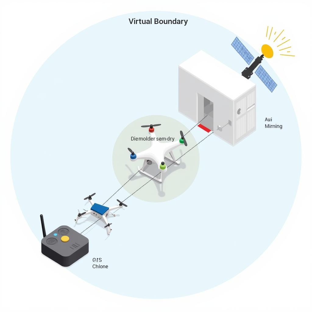 Autel Geofencing System Diagram
How Does Autel Geofencing Work?
Autel drones constantly communicate with GPS satellites to determine their location. This information is compared against pre-programmed geofence data stored within the drone’s firmware. If the drone attempts to enter a restricted zone, the geofence system will activate, either preventing takeoff or triggering a return-to-home (RTH) function. This real-time interaction ensures that your drone stays within the permitted flight zones.
Benefits of Utilizing Autel Geofencing
Autel geofencing offers numerous benefits, including enhanced safety, regulatory compliance, and improved operational efficiency. By preventing accidental intrusions into restricted airspace, it significantly reduces the risk of mid-air collisions or other incidents. Furthermore, adhering to geofencing regulations ensures compliance with local aviation authorities.
- Enhanced safety and reduced risk of incidents
- Compliance with aviation regulations
- Increased operational efficiency and peace of mind
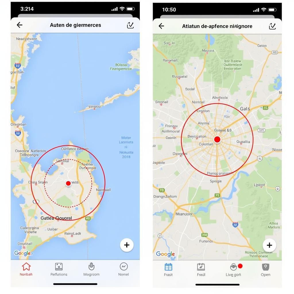 Autel Geofence Map Display
Setting Up and Managing Autel Geofences
Managing Autel geofences is generally done through the Autel Explorer app. The app provides an intuitive interface for viewing existing geofences and customizing restrictions. Users can create custom geofences, adjust the altitude limits within specific areas, and enable or disable geofence features as needed.
Customizing Geofence Settings in the Autel Explorer App
The Autel Explorer app allows for a significant level of customization, giving users control over their drone’s flight boundaries. Within the app, you can define the shape and size of your geofenced areas, set altitude restrictions, and configure actions such as RTH or hovering in place when a geofence boundary is breached. This level of control allows you to tailor the geofence settings to your specific operational needs.
Troubleshooting Common Autel Geofencing Issues
Occasionally, you might encounter issues with Autel geofencing, such as inaccurate GPS data or unexpected activation of geofence restrictions. Understanding these potential problems and their solutions is essential for smooth drone operations. For example, ensuring your drone’s firmware is up-to-date can often resolve many geofencing issues.
Advanced Autel Geofencing Techniques
Beyond basic geofence setup, Autel offers advanced features that further enhance safety and control. These include temporary flight authorizations, allowing flights in restricted airspace under specific circumstances, and the ability to create dynamic geofences that move with the drone, providing a constantly updated safety perimeter. For instance, understanding Autel’s no-fly zone restrictions is critical for safe operations. autel no fly zone
Temporary Flight Authorizations and Dynamic Geofencing
Temporary flight authorizations provide a mechanism for requesting permission to fly in restricted areas for legitimate purposes, such as aerial photography or inspections. Dynamic geofencing, on the other hand, creates a moving virtual perimeter around the drone, ensuring a safe distance from obstacles, even in dynamic environments. These features represent the cutting edge of geofencing technology.
John Smith, a certified drone pilot and instructor, emphasizes the importance of understanding these advanced features. “Mastering Autel’s advanced geofencing capabilities is crucial for professional drone operations,” he states. “They provide the flexibility and control needed for complex missions while maintaining the highest levels of safety and compliance.”
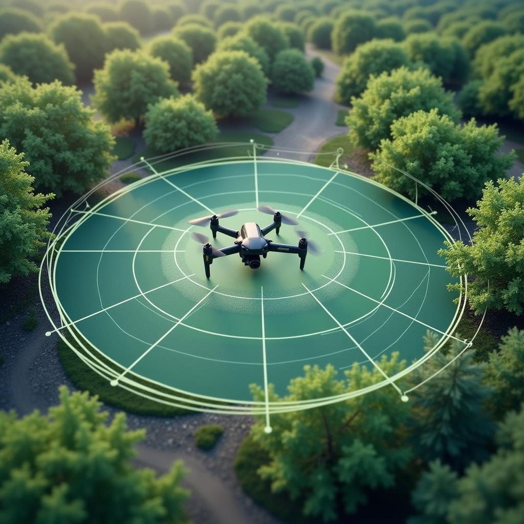 Autel Dynamic Geofencing Illustration
Conclusion
Autel geofencing is an essential tool for safe and responsible drone operations. By understanding its functionalities and utilizing its advanced features, drone pilots can ensure compliance, mitigate risks, and unlock the full potential of their Autel drones. Autel geofencing continues to evolve, providing ever-increasing levels of safety and control. Staying informed about the latest updates and best practices is crucial for maximizing its benefits.
FAQ
- What is Autel geofencing?
- How do I set up geofences on my Autel drone?
- Can I temporarily disable geofencing?
- What happens if my drone breaches a geofence?
- How do I update my Autel drone’s geofence database?
- What is a dynamic geofence?
- How do I obtain a temporary flight authorization?
Are you interested in learning more about the powerful features of Autel drones like the Dragonfish series? Check out our article on dragon fish autel.
For support, contact us via WhatsApp: +1(641)206-8880, Email: [email protected], or visit us at 276 Reock St, City of Orange, NJ 07050, United States. We offer 24/7 customer support.
